Wetlands
222210PD: From pond to wetlands
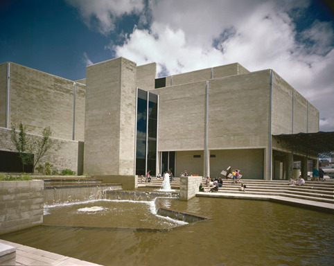
Shaping the water’s edge
Water is a life source. Notice the native plants and animals around this pond. Can you hear their sounds?
This area was once part of the large system of freshwater lakes across Perth. The Cultural Centre and train station formed part of the shore of Lake Kingsford. This lake and others in this location were part of an area known by Noongar people as Gooloogoolup. It was given the name Kingsford after colonisation.
Water sources and wetlands sustained Noongar Whadjuk people for generations.
The freshwater lakes are also connected to the Waugul who travelled all around the South West creating the land and the waterways. Elder May McGuire describes the presence of the Waugul’s in the river, “Old fella is there he lives there” (May McGuire 2020).
The water's edge has been shaped and changed over many years by human intervention. Water sources were drained (from 1833) by colonists. They drained Lake Kingsford to make way for the Swan River Colony.
Early European maps show how colonists drew lines across Lake Kingsford and divided the land into many different allotments, beginning European change of this landscape.
In recent years artificial/ human made ponds like this one have been returned to wetlands spaces.
Compare the space you see today to this photograph. Why do you think this it has been transformed into a wetland?
Discover more!
Spend some time exploring the wetland. What types of plants and animals do you see?